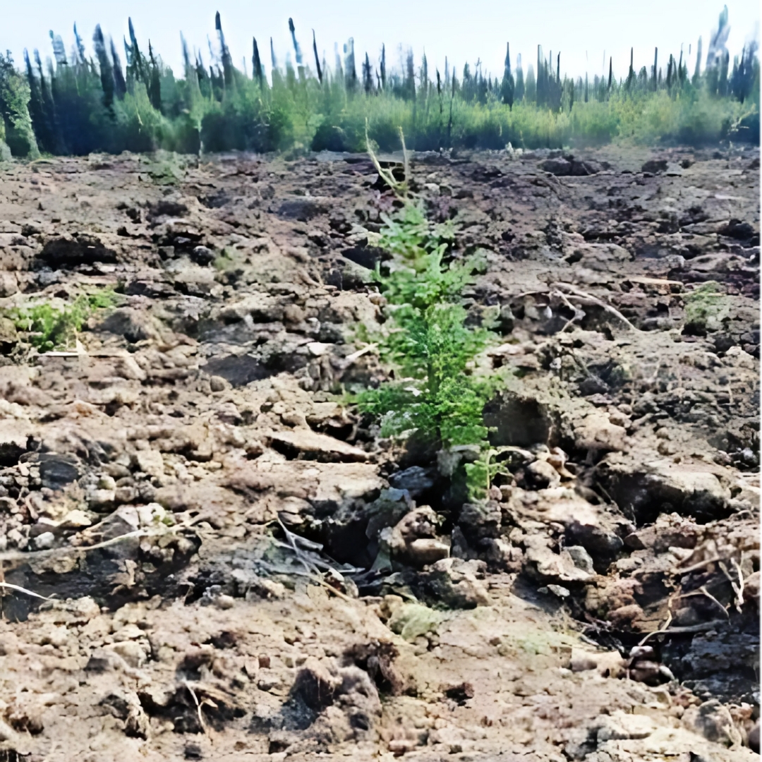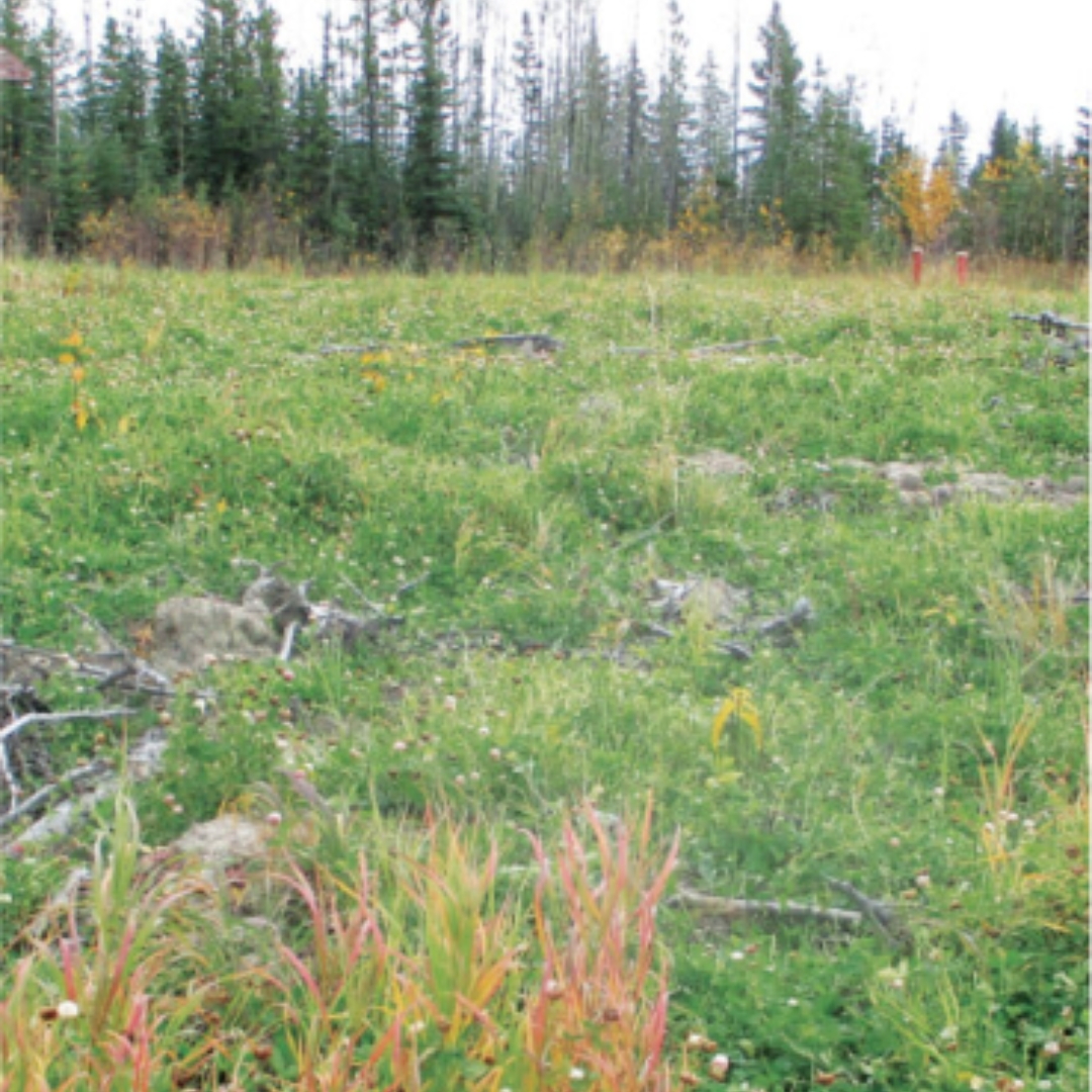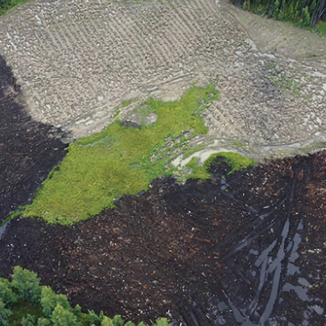
Remote Mine Vegetation & Soil Survey Program
We collaborated with an environmental client to develop digital field data‑collection forms for soil, vegetation, and invasive‑species surveys. Using ArcGIS Field Maps, our team collected more than 5,000 soil and vegetation records from a remote mine site with no cellular coverage.
Data was uploaded daily to a custom Data Review Application, enabling the Project Manager and Subject Matter Experts to efficiently review and validate incoming field data. Upon completion, all survey data was digitally exported and delivered to the client in a structured, ready‑to‑use format.