by Support_IM | Mar 4, 2025
Industrial Site Remediation Workflow We leveraged ArcGIS Field Maps, Trimble Catalyst, and ArcGIS Online to develop a streamlined soil‑remediation workflow for an industrial client. The site contained two existing soil piles that required sampling and classification...

by Support_IM | Mar 4, 2025
Remote Mine Vegetation & Soil Survey Program We collaborated with an environmental client to develop digital field data‑collection forms for soil, vegetation, and invasive‑species surveys. Using ArcGIS Field Maps, our team collected more than 5,000 soil and...
by Support_IM | Feb 2, 2025
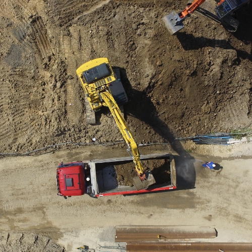
Ecological Enhancement Techniques During reclamation work, MEMS employs various methods to enhance the ecological values of the sites. Dozers and excavators can be used in different ways to create site conditions favorable for revegetation and its restoration towards...
by Support_IM | Feb 2, 2025
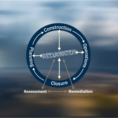
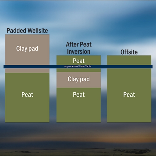
Clay-Peat Inversion Motivated by a passion for peatlands and a dedication to reclamation efforts for over 25 years, MEMS persistently strives to restore wetlands throughout Western Canada. Through the application of cutting-edge methods, MEMS remains at the forefront...
by Support_IM | Feb 2, 2025
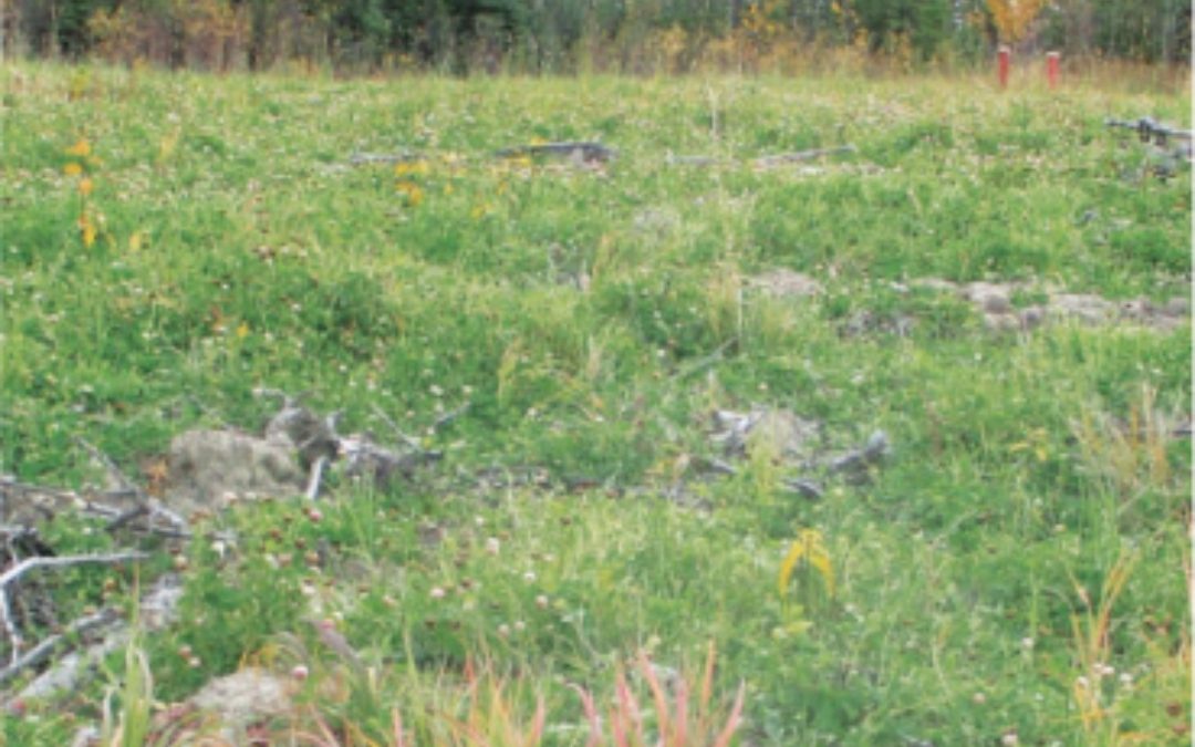
Reclaim Forested Sites MEMS has supported the reclamation of more than 300 forested sites across Alberta and British Columbia over the past decade. This work represents over 363 hectares—equivalent to 896.6 football fields—returned to healthy forested land. In total,...